Geological Data Governance
Design, audit and maintain exploration databases with validation controls and traceable records to support data integrity and reporting workflows aligned with JORC and NI 43-101 requirements.
A CRB-registered construction company delivering building works, civil projects, scaffolding and material supply across East Africa, with specialist geological data, GIS and cloud infrastructure services.
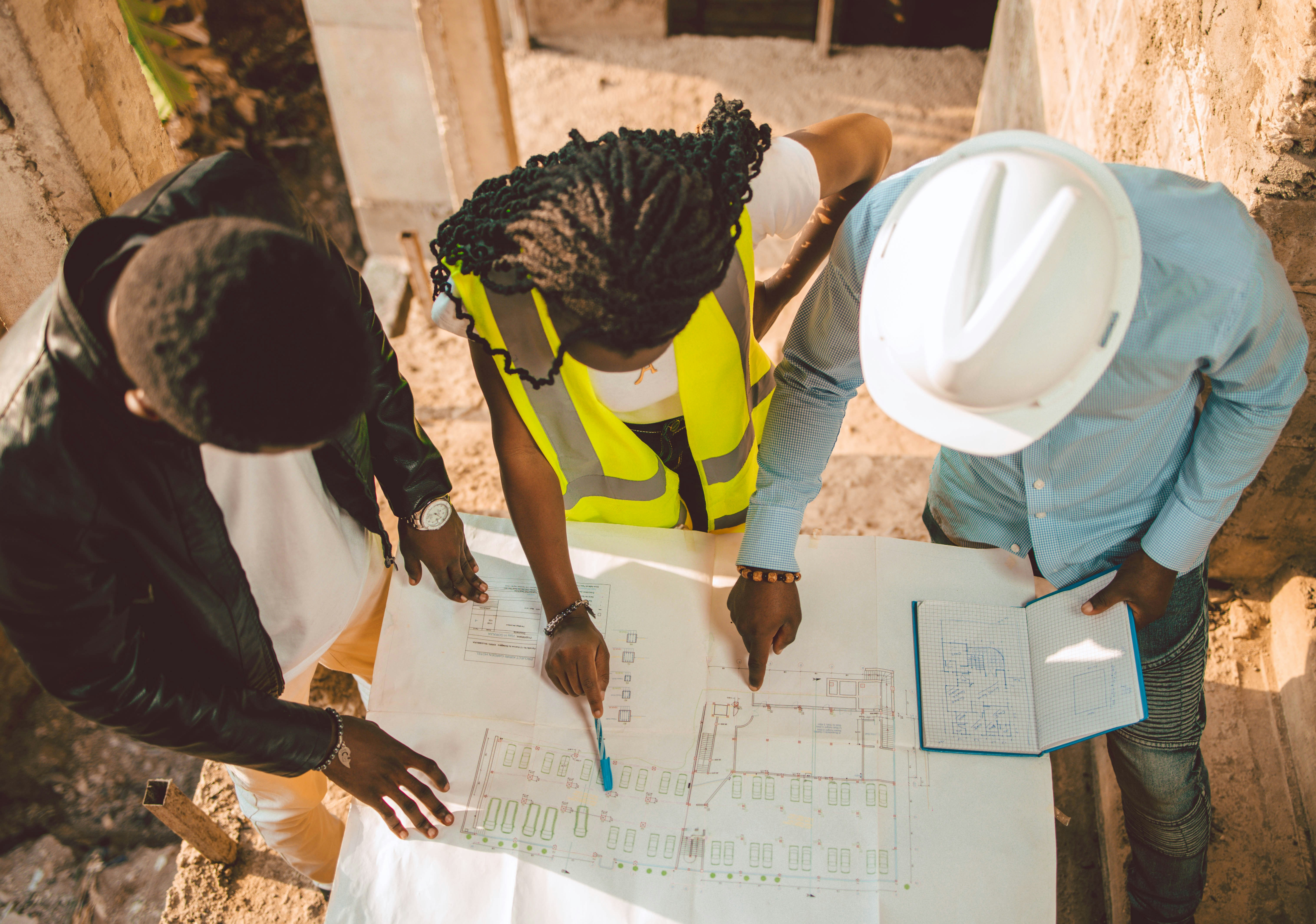
Meliorate Tanzania Company Limited is a locally incorporated company registered under the laws of Tanzania. From humble beginnings in 2019, we have grown into a key player in the construction industry — offering diverse construction solutions to government agencies, NGOs, major companies, and private clients.
Our client base spans Save the Children, UNICEF, AngloGold Ashanti, Plan International, the Judiciary of Tanzania, and many more. We measure delivery by on-time completion, budget adherence, quality workmanship, and outstanding customer service.
From construction and material supply to geological data, GIS and cloud infrastructure — expertise for your sites and the systems behind them.
Geological data management, enterprise GIS and cloud infrastructure connecting remote field operations with corporate teams. Also serving forestry, infrastructure and environmental projects.
Geological Data, GIS & Cloud Infrastructure
We deliver specialized geological data management, enterprise GIS and cloud-hosted mining infrastructure solutions. Our team connects subsurface geology, surface asset tracking and modern cloud IT to keep exploration and operational data accurate, auditable and accessible from corporate headquarters to remote mine sites.
Design, audit and maintain exploration databases with validation controls and traceable records to support data integrity and reporting workflows aligned with JORC and NI 43-101 requirements.
Develop multi-tier database architectures that connect local field logging and offline data capture with enterprise data warehouses as operations grow.
Migrate on-premises mine IT to secure cloud environments, with remote access and synchronization designed for low-bandwidth locations and intermittent connectivity.
Engineer automated Extract, Transform, Load (ETL) pipelines that connect spatial and tabular mining platforms, reducing manual handling and keeping teams working from consistent data.
| Capability | Platforms & Tools |
|---|---|
| Mining & Geological Databases | Off-the-shelf mining database tools; Microsoft Access with VBA forms and offline logging tools |
| Enterprise Database Stack | Microsoft SQL Server; T-SQL with spatial Geometry & Geography |
| GIS & Modeling Integration | Esri ArcGIS Pro, ArcGIS Enterprise and Field Maps; QGIS |
| Cloud & Infrastructure | AWS; Microsoft Azure; Virtual Desktop Infrastructure (VDI); decentralized synchronization utilities |
We apply the same data management, enterprise GIS and cloud infrastructure expertise to forestry, infrastructure and environmental projects. From multi-season Environmental and Social Impact Assessment (ESIA) ecological models and land acquisition cadastres to high-density forestry inventories, we connect remote field operations with secure cloud-hosted spatial and tabular data systems.
Our team's experience includes work with the following companies:
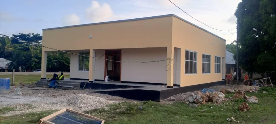
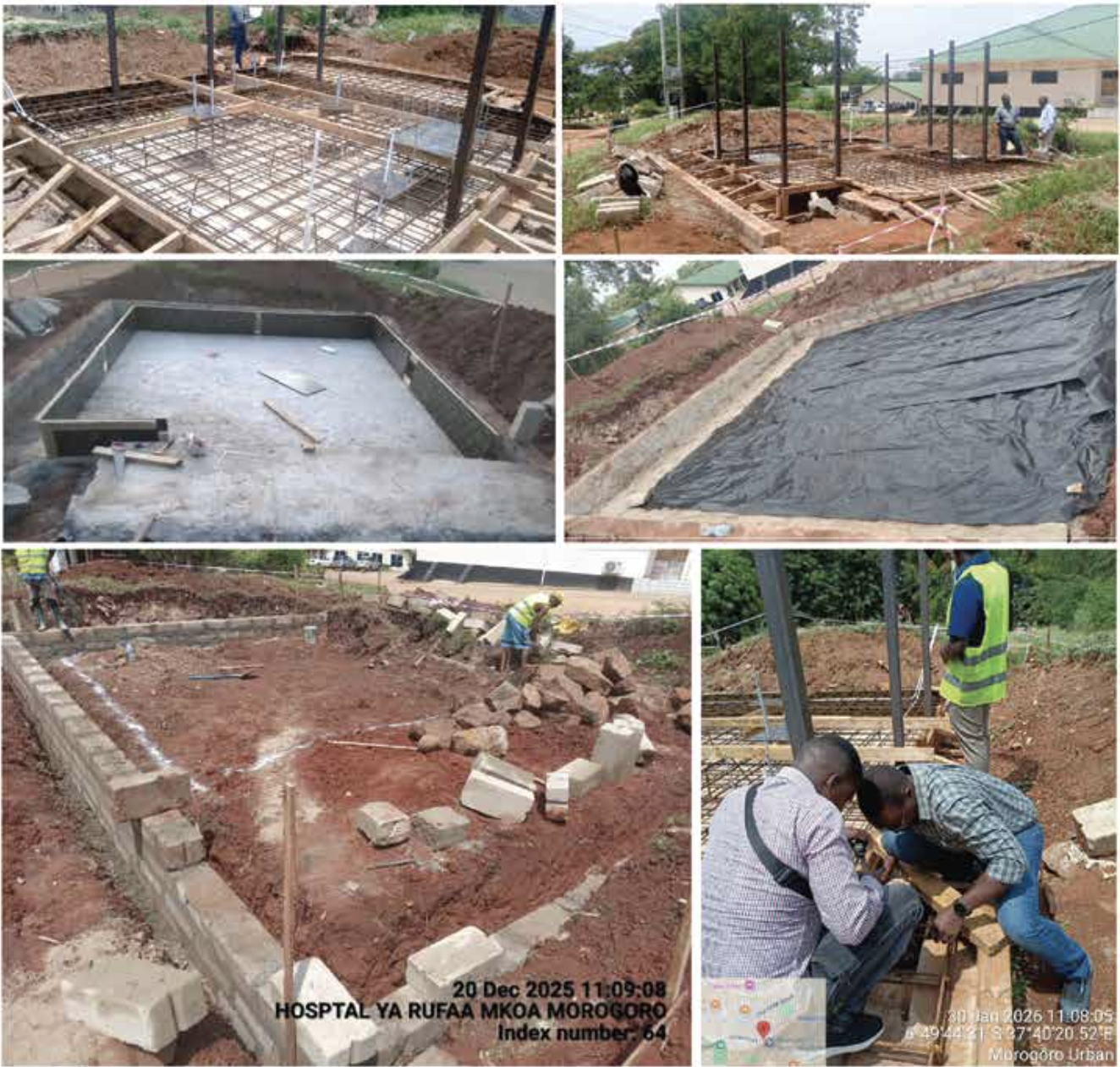
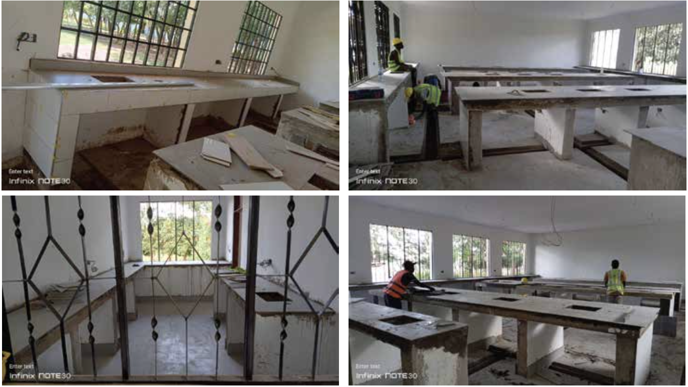
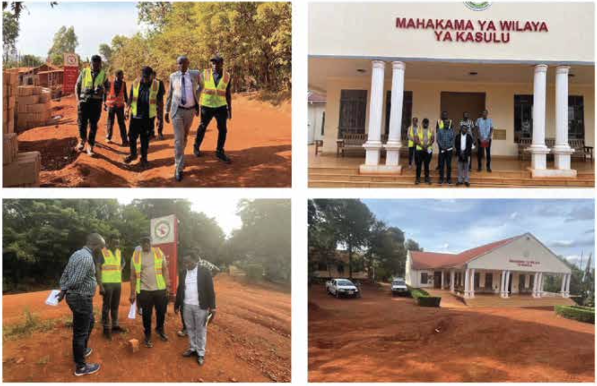
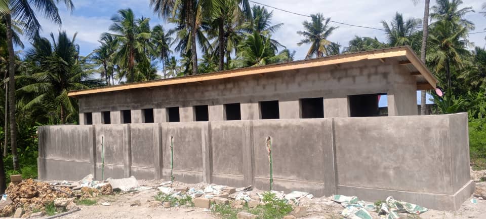
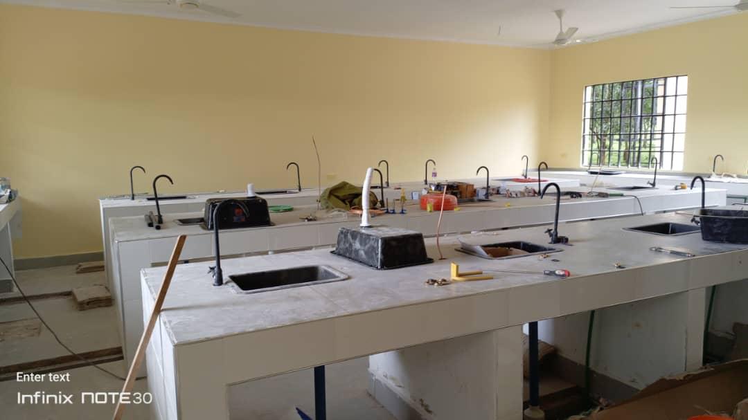
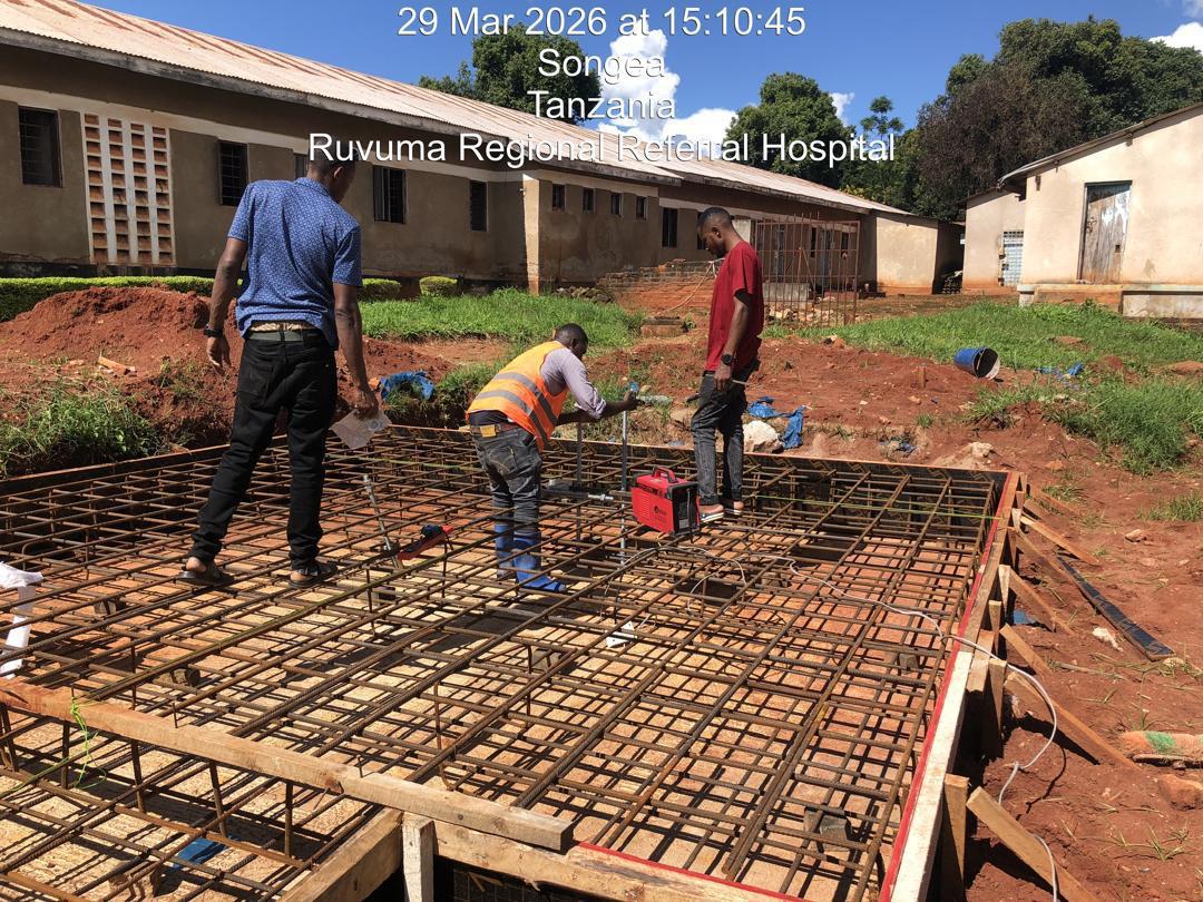
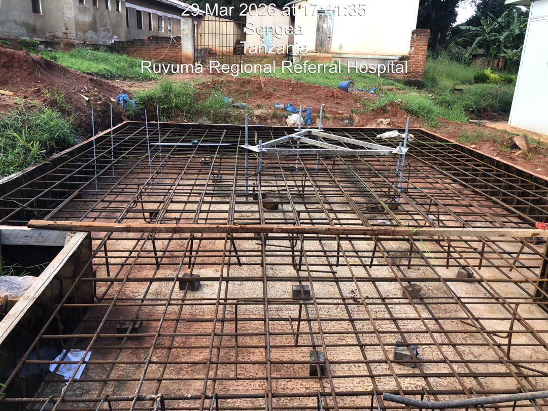
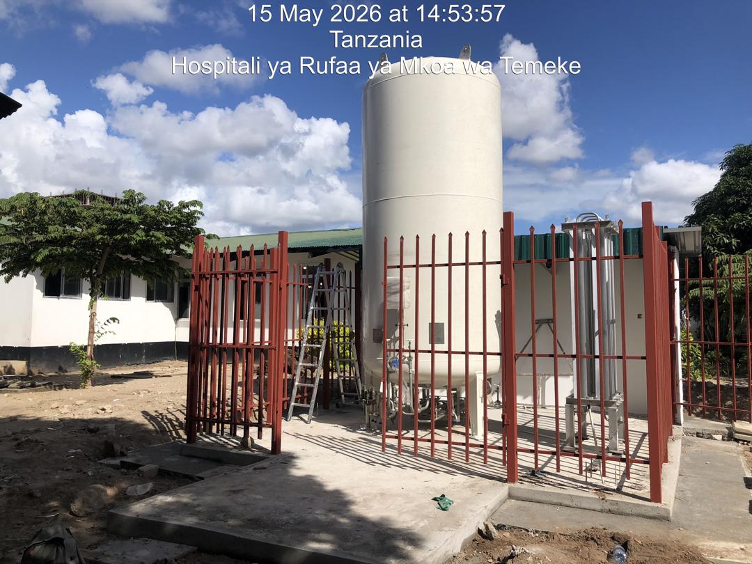
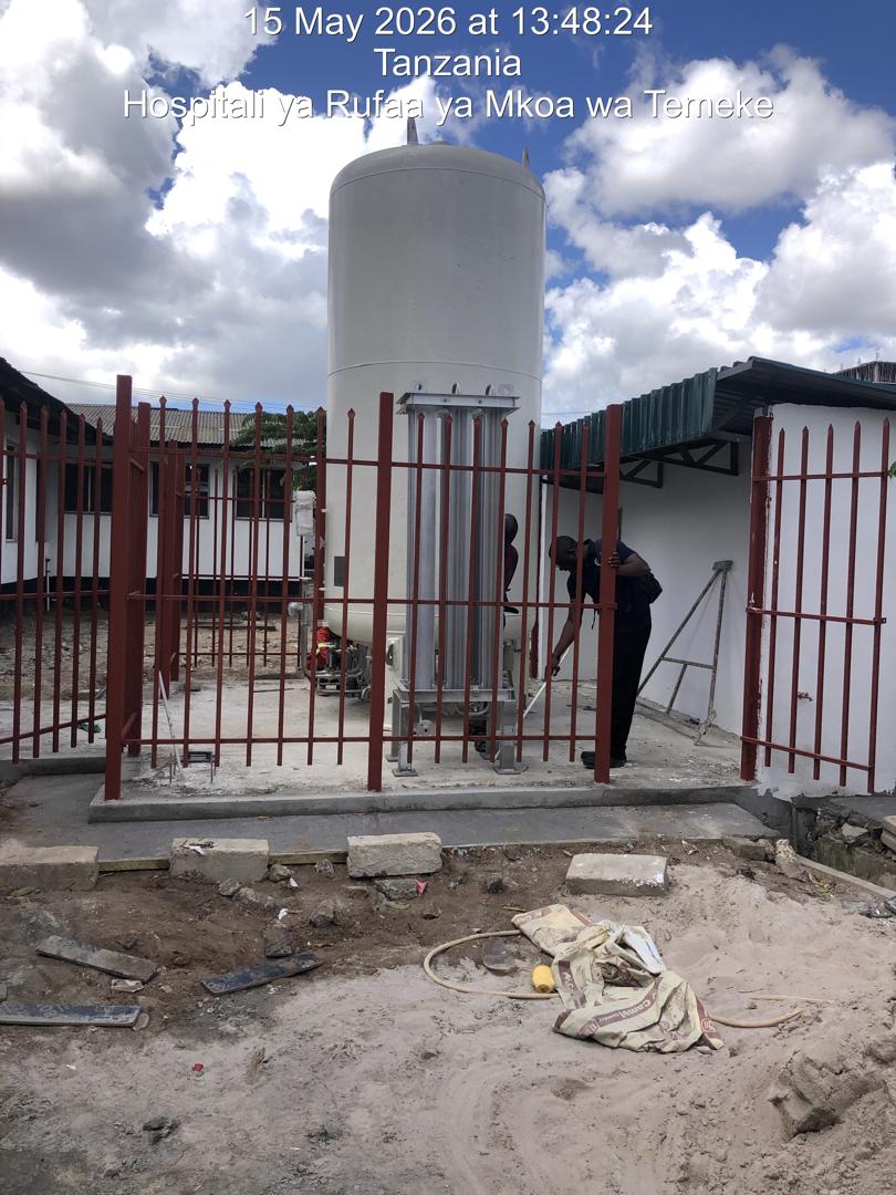
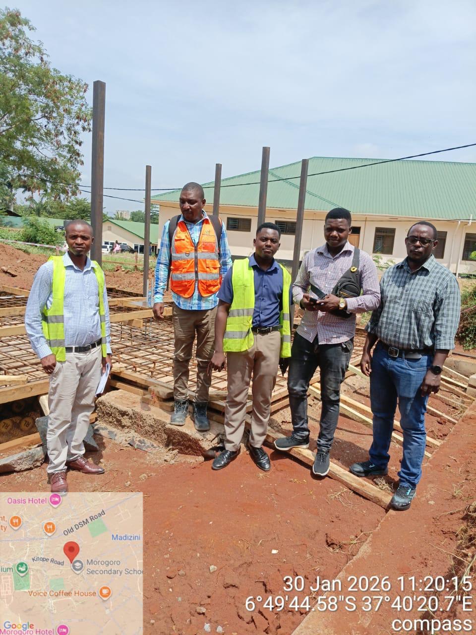
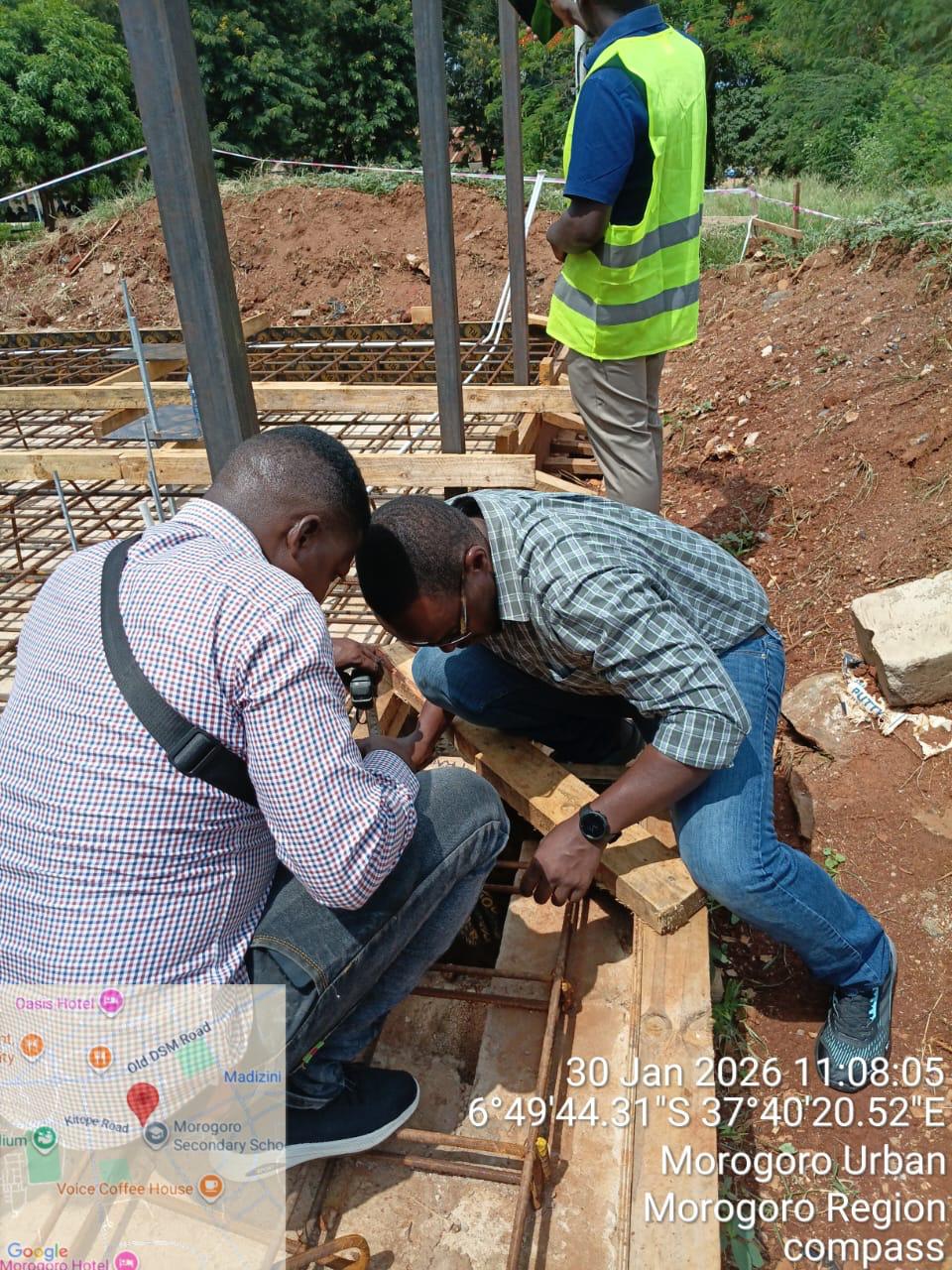
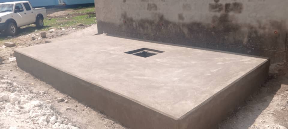
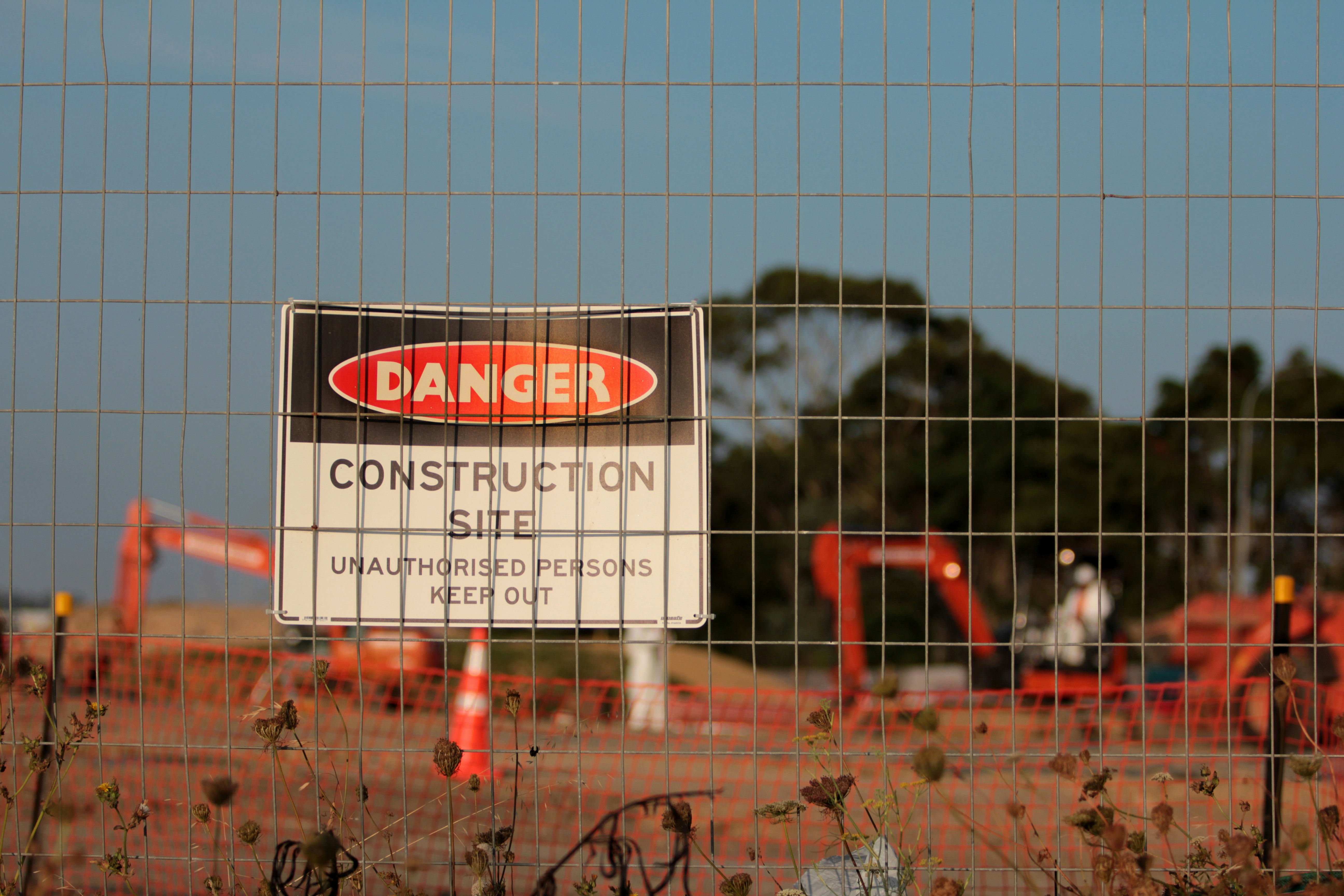
Snapshots from active construction sites, inspections, rehabilitation works, and completed delivery milestones across Tanzania.
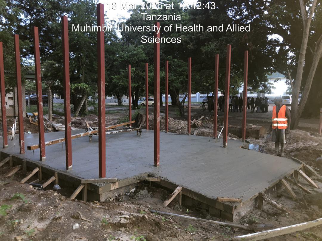
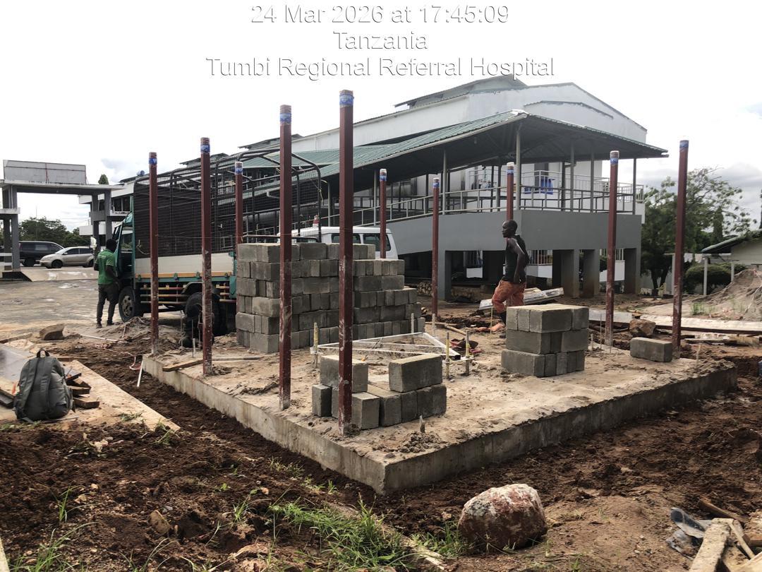
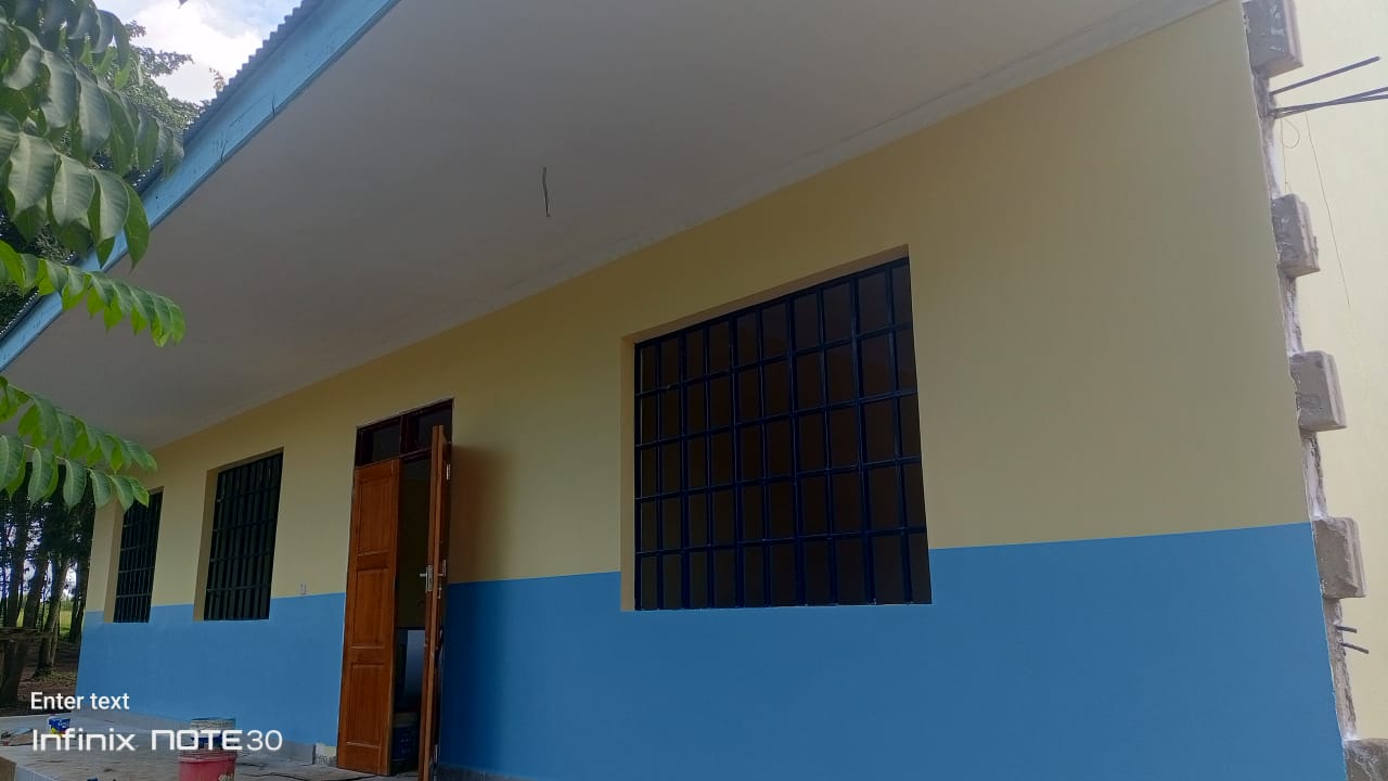
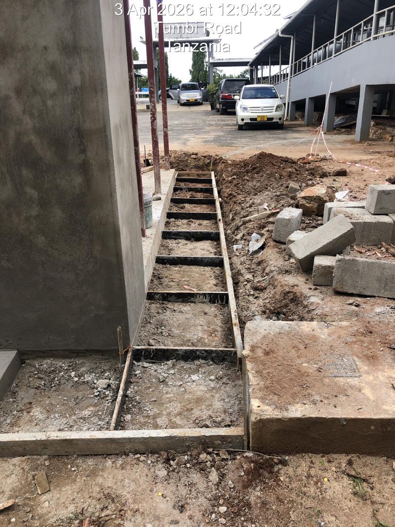
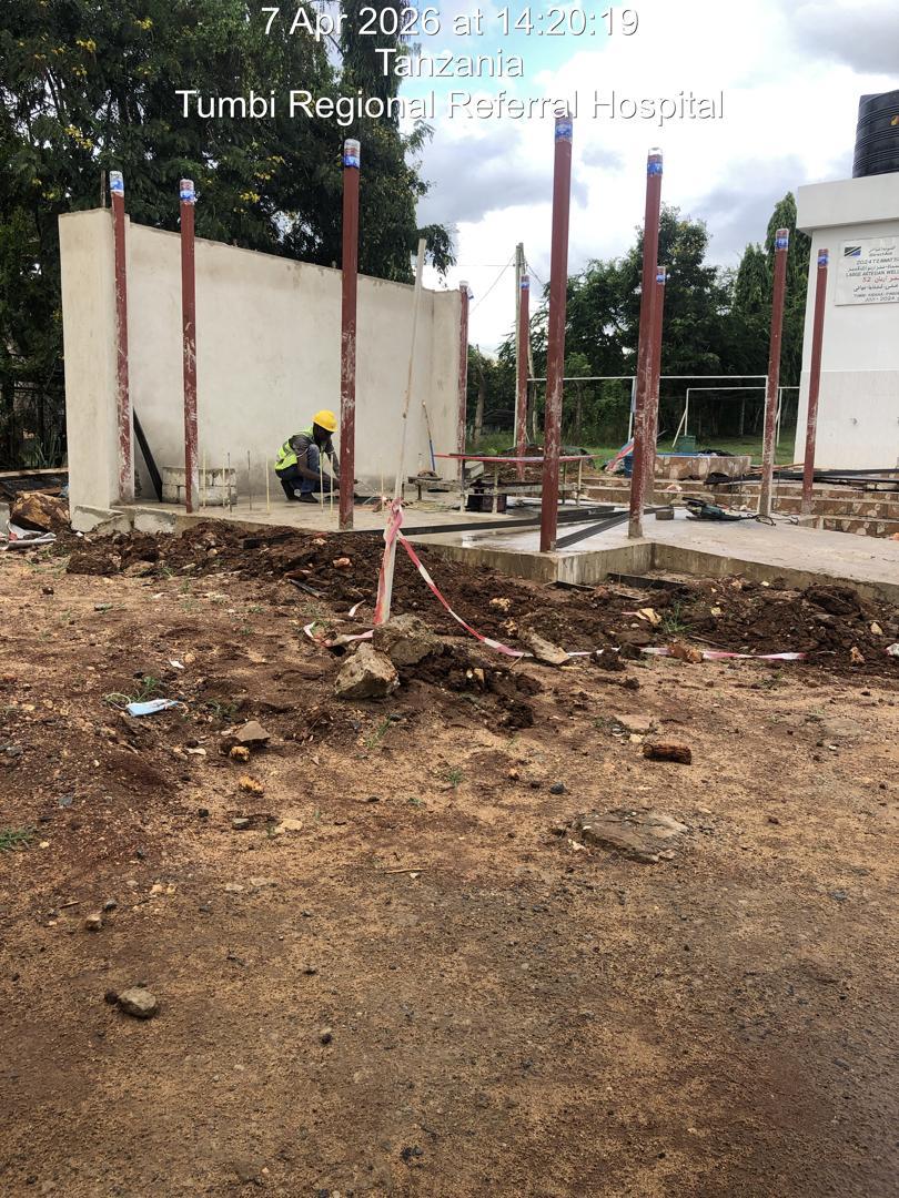
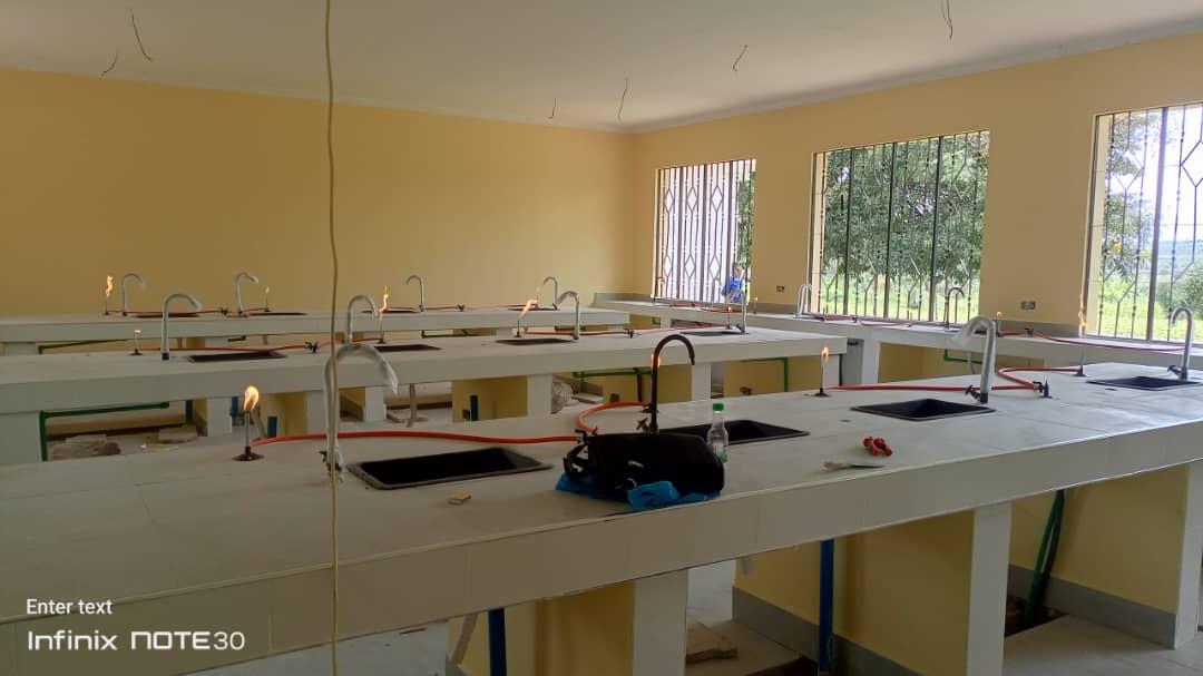
Government agencies, NGOs, and international partners across Tanzania
Planning a construction project or need geological data, GIS and cloud infrastructure expertise? Reach out to discuss your requirements.